Board and Kayak
Get A Fishing License
*Disclaimer: Board and Kayak earns a commission from qualifying purchases.

A Guide to Paddling: Buffalo River Kayaking, An American Mark

America's First National River, Buffalo River, kayaking

America's First National River, Buffalo River, kayaking

Updated on 4/24/2024
Abigail ScottBy Abigail Scott
Hi, I'm Abigail 👋 Since embarking on my kayaking and boarding adventures in 2010, I've navigated rivers and lakes across North America and beyond. With over a decade of experience and countless waterways explored, I'm here to help enthusiasts like you embark on unforgettable water adventures!
Learn More about Abigail Scott
On this page
Table of content:

    Here is the first national river, Buffalo River Kayaking. The Buffalo National River is a worthy addition to your list of must-do float trips because it features massive, water-stained bluffs that soar more than 500 feet above your canoe or kayak; the highest waterfall between the Appalachians and the Rockies; potential campsites on gravel bars along over a hundred miles of clear, free-flowing river; and more. All these features and more make the Buffalo National River a worthy addition to your list.

    This article was first published on National Parks Traveler and reproduced with permission. These tales are included in the recently published Essential Guide for Paddling the Parks. This is the first paddling guide to the National Park System, and it will help you choose which river, lake, or ocean to paddle on, how to select an outfitter if one is required, and where to find the most epic paddling adventures in the parks. One of these exciting opportunities may be located on the Buffalo National River, which was the first national river we protected.

    ___SNIPPET___ImageSnippet#1656370950632___END___

    ___SNIPPET___ImageSnippet#1656370950632___END___

    The springtime is the best time to float the Buffalo, particularly the upper (western) section of this gorgeous river. The Buffalo River's headwaters are located in the rough Boston Mountains in northern Arkansas, and it runs eastward for 135 miles until it meets the White River. Because rainfall is the primary factor that determines water levels, you should be aware that floating conditions fluctuate significantly from one month to the next and may even undergo dramatic shifts overnight following periods of intense precipitation.

    Midway through March is often when the ideal conditions of mild temperatures and sufficient water levels begin. Then they travel farther downstream as spring progresses into the beginning of summer. The ten-mile stretch of river that extends from Ponca to Kyles Landing is often a good choice for a spring trip for boaters with some experience—or those who don't mind the risk of a possible dunking. If you're looking for a combination of some of the best rapids (Class I and II) and striking scenery along this river, the stretch from Ponca to Kyles Landing is often a good choice.

    This portion of the river is also one of the most famous early-season floats on the Buffalo, so if your trip includes a weekend — or spring break for students — you can anticipate having to share the region with a large number of other tourists. Floating during the weekdays will likely provide you with a more peaceful experience. There are many additional options for excursions ranging from a few hours to a week's worth of time on the river since there are more than 20 possible put-in spots throughout the river.

    Our Overall Review
    4.3
    Read full review

    The beauty along the Buffalo River from Ponca to Kyles Landing is reportedly some of the best you'll see anywhere along the river. When I first visited that portion of the river some years ago, it more than lived up to the hype around it.

    ___SNIPPET___ImageSnippet#1656370904813___END___

    ___SNIPPET___ImageSnippet#1656370904813___END___

    At barely two miles into the float, when Roark Bluff first starts to emerge on river left, floaters are treated to a magnificent illustration of that superb landscape. The view may be enjoyed for a considerable length of time. This rocky bluff is the longest one along the river, and it rises to a height of up to 220 feet over your head as it runs parallel to the water for three-quarters of a mile.

    As you go farther downstream, the sheer verticality of the landscape only continues to increase. Four miles into the journey, the appropriately called Big Bluff reaches its highest point, topping at more than 500 feet of the primarily vertical cliff wall. Big Bluff is sometimes referred to as the tallest landmark of its kind, along with the Buffalo, making it a popular location for photographs; nonetheless, it is unlikely that a single picture could adequately depict the whole of this perspective.

    A well-known pullout on river left, three miles beyond Big Bluff, allows visitors to stretch their legs and take in some more views. A waterfall at Hemmed-in-Hollow may be reached by taking a moderately strenuous climb up a side canyon of about 0.7 km. It is the tallest waterfall that can be found between the Appalachians and the Rockies, with a plunge of little more than 200 feet. The power of the falls, like that of the Buffalo River itself, is proportional to the amount of precipitation that has fallen; the flow is impressive quickly after a heavy storm, but it may decrease to a trickle or less after a protracted dry period. Under such circumstances, it is unlikely that you will be able to reach this location by boat since the water level in this portion of the river is most likely too low for floating. This trip will often grant your request for some exciting whitewater experiences if you have them planned out ahead of time. A few of the more exciting rapids may be seen only a few minutes before reaching Kyles Landing. Fans of white water rafting consider Gray Rock Shoal—also referred to more poetically as Hell's Half Acre—to be a top destination when river levels are favorable. Because Gray Rock itself protrudes from the bank on the left, staying to the right will, at most water levels, lessen the likelihood that you will have to take an accidental swim.

    America's First National River, Buffalo River, kayaking

    America's First National River, Buffalo River, kayaking

    It is possible to save some wear and tear on your car by taking a shuttle service provided by a local canoe outfitter to return to where you began your journey. The Kyles Landing takeout point is a little over a quarter mile beyond Gray Rock. The steep gravel road that leads into that region may be somewhat tricky at times, and the website for the park suggests using a vehicle with high clearance for this trip.

    Do you fancy spending the night in a tent by the river? The park has thirteen campsites, eight of which are built and seven of which are primitive. Facilities in the developed campgrounds range from "bare-bones" to showers and RV connections at Buffalo Point. While some campsites are only available at certain times of the year, others are open all 12 months. Along the whole of the river, several gravel bars are suitable for backcountry camping. You may find information on camping and rules for the backcountry on the park website.

    There are also decent possibilities along other stretches of the Buffalo River if you aren't an experienced boater or simply looking for a float trip with little white water. The 7.5-mile run from Buffalo Point to Rush is a popular option, and it also happens to be one of my favorites when it comes to paddling on calm days with adequate water levels. In addition, this stretch has some beautiful scenery, such as Toney Bluff and Ludlow Bluff, the latter of which, according to some accounts, is even higher than Big Bluff and is the highest point along the river.

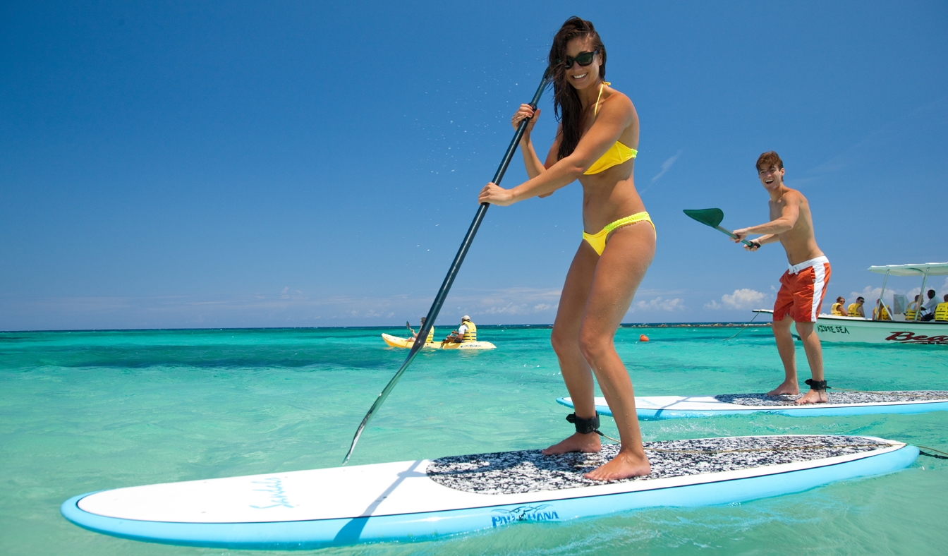
    It is essential to keep in mind that even relatively minor shifts in river levels can have a significant impact on the amount of physical exertion and boating expertise that is required, so before you head out on the river, you should always check both the weather forecast and the conditions of the water. The Buffalo River Kayaking gauge readings at important spots are shown on an interactive map that may be seen on the park website. The map also shows the locations of river access points and camps.