Spotlight Pick

Fenix 7X Pro Solar Sport Watch
Balanced option for paddlers who want a high-confidence all-round setup with strong value retention.
Loading experience...
Product Breakdown
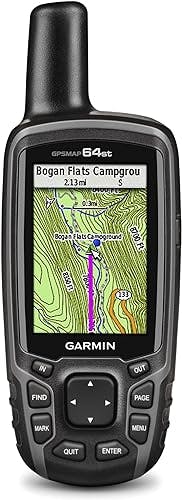
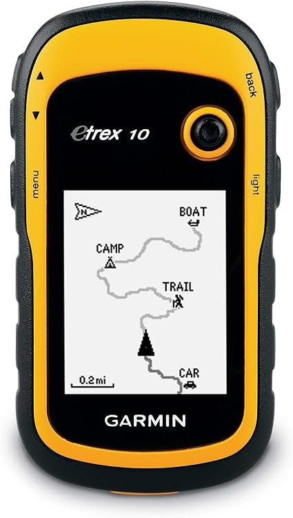
Garmin eTrex 10 Worldwide Handheld GPS Navigator
Deep Dive
The Garmin eTrex 10 Worldwide Handheld GPS Navigator is a budget-friendly choice for outdoor enthusiasts who need reliable navigation. It features a high-sensitivity GPS receiver, a 2.2-inch monochrome display, and a worldwide basemap, making it easy to track your location and navigate effectively. Additionally, it is Garmin Connect compatible, allowing you to analyze, categorize, and share your data with the online community.
The eTrex 10 is a rugged handheld navigator that comes preloaded with a worldwide basemap and sports a 2.2-inch monochrome display. It is WAAS enabled and supports HotFix and GLONASS, ensuring fast positioning and a reliable signal. Furthermore, it is waterproof to IPX7 standards, offering protection against splashes and rain. With its paperless geocaching support and compatibility with Garmin spine mounting accessories, the eTrex 10 is a versatile companion for your outdoor adventures.
This GPS navigator operates on two AA batteries, providing up to 20 hours of use. For best results, it is recommended to pair it with Polaroid AA batteries. You can utilize its features to view high and low elevation points, as well as store waypoints along a track to estimate time and distance between points.
Now onto some frequently asked questions:
Can I buy more detailed maps from Garmin and load them on this device?
Just for further confirmation: The Garmin provided features/abilities chart on this product page shows that the 20x and 30x allow "ability to add maps" and the 10 does NOT.
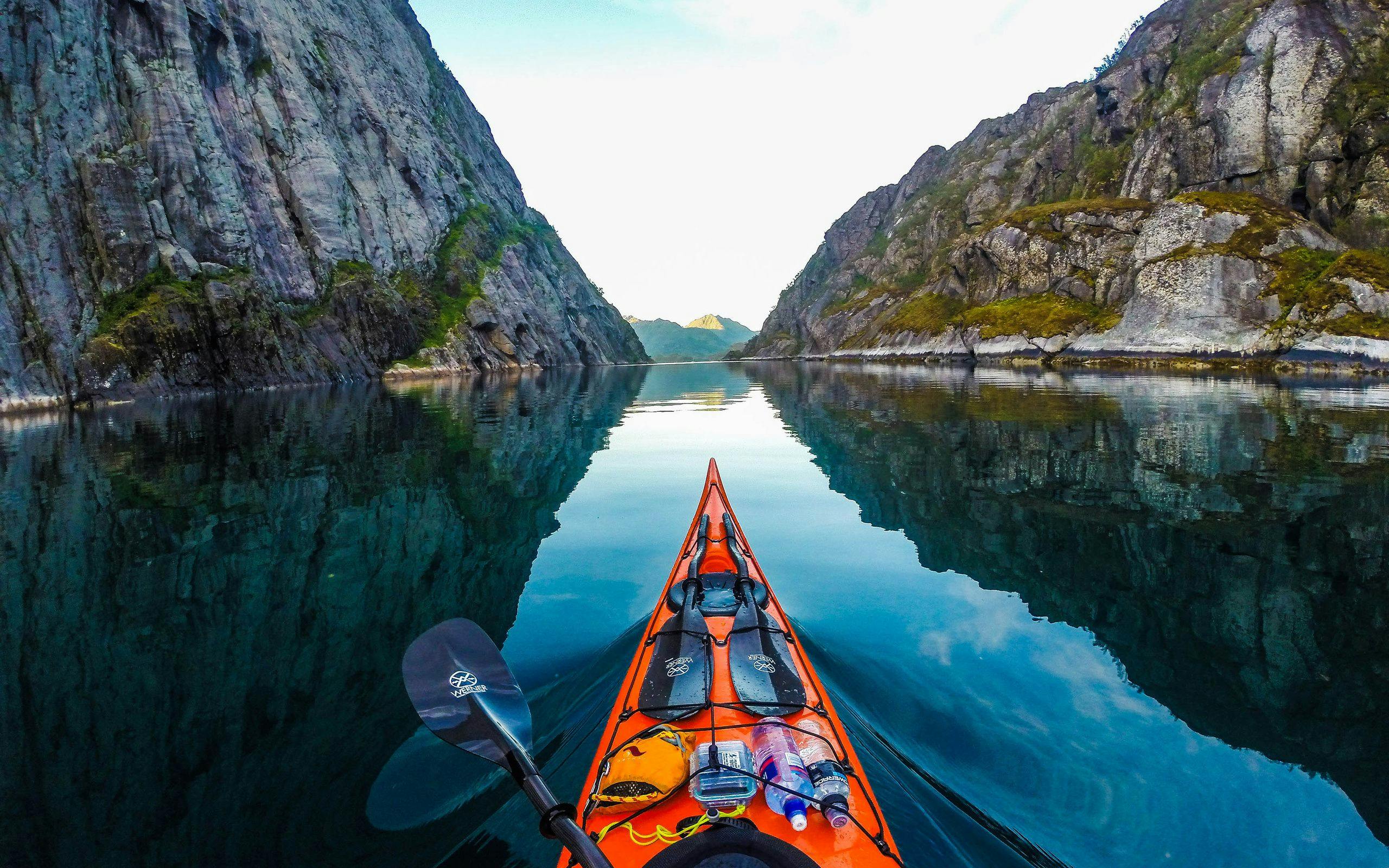
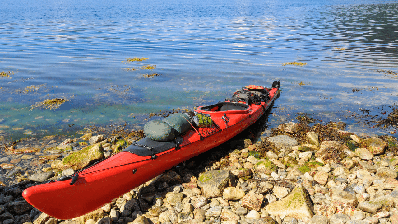
As a Kayaker, can I put in my Launch Point a waypoint and use this to return to it?
Absolutely. I would make sure the unit is kept in a dry bag, but it will surely point you in the right direction and get you to within 25 feet of your launch site.
I would like to buy it for leading my hiking outside. I just want it to help me not get lost in woods and guide me on the right trails. Is it okay for that?
It's not going to show the right trails, but it will prevent you from getting lost.
Can I input longitude and latitude?
I need to get coordinates UTM and latitude and longitude. I live in Venezuela. Does this device work for my country? The computer brings up a screen that generates UTM coordinates and lat/log?
Unfortunately, no information is available regarding the UTM coordinates or specific compatibility with Venezuela. It is advisable to contact Garmin directly or consult the product's technical specifications for accurate information regarding coordinate systems and country compatibility.
Just for further confirmation: The Garmin provided features/abilities chart on this product page shows that the 20x and 30x allow "ability to add maps" and the 10 does NOT.
Absolutely. I would make sure the unit is kept in a dry bag, but it will surely point you in the right direction and get you to within 25 feet of your launch site.
Its not going to show the right trails, but it will prevent you from getting lost.
I need to get coordinates UTM and latitude and longitude, I live in Venezuela, this team works for my country? the computer brings up a screen that generates UTM coordinates and lat / log?
Alternatives
A curated comparison lane to quickly spot stronger options.
Spotlight Pick
Balanced option for paddlers who want a high-confidence all-round setup with strong value retention.
Read Next
A focused editorial path so readers can keep momentum after this review.
 shopFeatured
Deep dive first: this article expands the strategy, gear, and route decisions that complement the product you are viewing now.
Read featured guide