Spotlight Pick

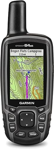
quatix 7 - Sapphire Edition
Balanced option for paddlers who want a high-confidence all-round setup with strong value retention.
Loading experience...

Product Breakdown
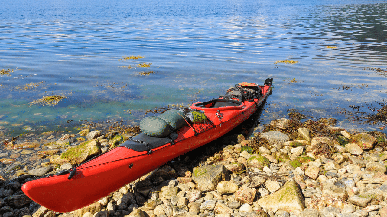
Garmin GPSMAP 79sc Marine GPS Handheld
Deep Dive
Cast off confidently with the GPSMAP® 79sc marine GPS handheld. This rugged, floating handheld features a sunlight-readable, high-resolution color display that is fogproof and scratch-resistant. You get access to a range of satellite constellations, so you get more reliable, accurate tracking around the world. Navigate wherever your adventures take you with built-in BlueChart® g3 coastal charts. With more memory than previous models, you can save and track 10,000 waypoints and 250 routes. Keep your bearings with the built-in compass.
Rugged, floating, water-resistant (IPX6 — unit level only) handheld GPS with a high-resolution color display and scratch-resistant, fogproof glass.Special Feature:Designed to Float; Accurate Tracking; Increased Memory; Built-in Compass; BlueChart Coverage.Water Resistant: Yes
Increased memory to save and track 10,000 waypoints, 250 routes and 300 fit activities
Supports multiple satellite constellations (GPS, GLONASS, Beidou, Galileo, QZSS and SBAS) for reliable tracking around the world
Includes preloaded BlueChart g3 coastal charts
Built-in 3-axis tilt-compensated electronic compass shows heading while standing still
Barometric altimeter tracks changes in pressure to pinpoint your precise altitude
Battery life: up to 20 hours in GPS mode
FAQs:
- What charts does it include?
- US Coastal
- Can I plug in a BlueChart g3 SD card in this device to use in a different region?
- I personally don't know the answer to this question and would recommend that you call Garmin Customer Service and select the proper menu and ask to be connected to Adam in Tucson, Az. He is very knowledgeable & good to work with to answer any questions you may have about this model.
- Will this also work on land?
- Yes
- Are South Pacific islands (Fiji in particular) covered by any Garmin uploadable maps for this device?
- Not sure. You need to find a map memory card for the area.
US Coastal
I personally dont know the answer to this question and would recommend that you call Garmin Customer Service and select the proper menu and asked to be connected to Adam in Tucson, Az. He is very knowledgeable & good to work with to answer any questions you may have about this model.
Yes
Not sure u need to find map memory card for area
Alternatives
A curated comparison lane to quickly spot stronger options.
Spotlight Pick
Balanced option for paddlers who want a high-confidence all-round setup with strong value retention.
Read Next
A focused editorial path so readers can keep momentum after this review.
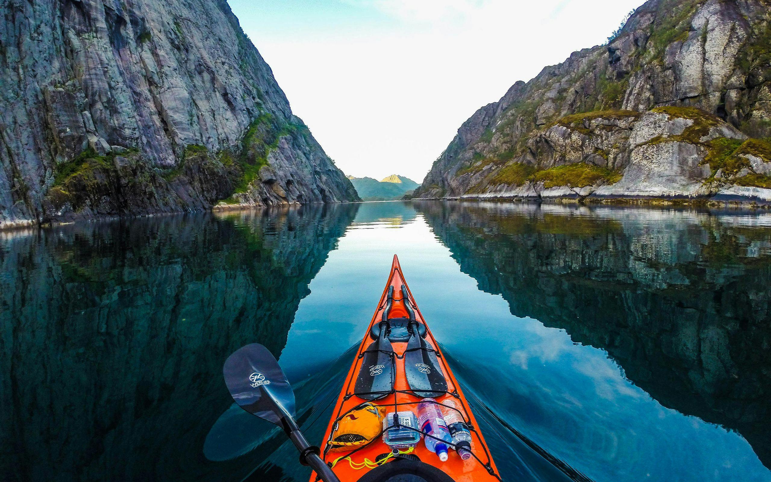
 Learn KayakingFeatured
Deep dive first: this article expands the strategy, gear, and route decisions that complement the product you are viewing now.
Read featured guide